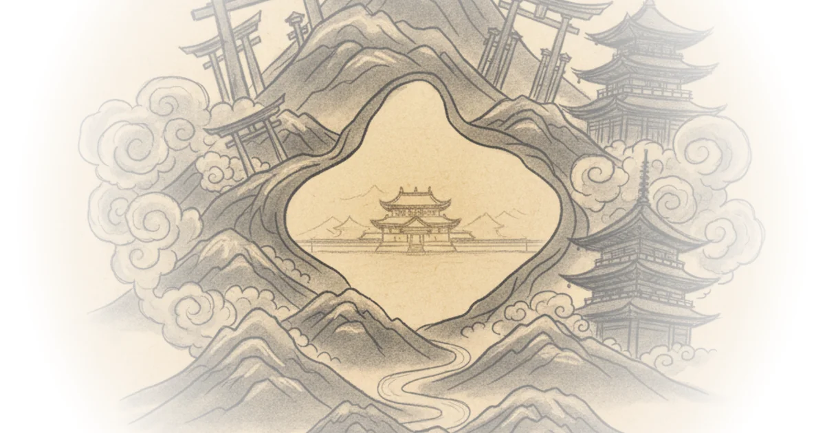
Most travel guides treat Kyoto as a static museum of ancient beauty, but Dave Amos argues that the city's most defining feature is actually a deliberate act of urban exclusion. By tracing the spatial separation between the Imperial seat and the religious heart of the nation, Amos reveals that Kyoto's famous "sprawl" of temples is not an accident of history, but the result of a 8th-century zoning code that banned sacred structures from the city center.
The Geography of Exclusion
Amos begins by dismantling the intuitive assumption that a capital city's most important buildings should cluster around its political core. "The former Imperial Palace is located right in the center," he notes, "why not have the biggest religious buildings there too?" The answer lies in the rigid Chinese-influenced urban planning of the Heian period. Amos explains that the original city plan, Heian-kyo, strictly forbade almost any type of religious building within its boundaries. This was not merely a stylistic choice but a geopolitical one; the city was designed as a rectilinear grid with the Imperial Palace at the northern apex, while the hills surrounding the site provided a symbolic and physical defense.
The author's framing of this as a "zoning" issue is particularly effective for a modern audience. He writes, "the original plan forbade almost any type of religious building within its boundaries," forcing the elite to build their piety on the periphery. This created a unique urban dynamic where the nobility, rather than the state, drove the construction of the city's most iconic landmarks. Amos suggests that these exurban temples created a form of "medieval suburban sprawl," where religious institutions became tax-exempt economic engines that attracted pilgrims and spawned entire communities outside the official city limits.
"These temple communities became hugely influential in Kyoto-era politics and even the politics of Japan as a whole."
This observation shifts the narrative from one of passive history to active political maneuvering. The temples were not just places of worship; they were power centers. Amos highlights how retired emperors practiced "cloistered rule" from massive temple palaces like Kinkaku-ji, effectively governing the nation from the religious fringe rather than the political center. Critics might argue that Amos overstates the intentionality of this "sprawl," suggesting that some of these developments were reactive rather than planned urban strategies. However, the sheer density of these institutions on the city's edge supports his thesis that the geography was a deliberate political tool.
The Architecture of Power and Compass
As the narrative moves through different eras, Amos uses specific architectural anomalies to illustrate the shifting tides of power. He points to Nijo Castle, built in the 16th century by the unifier Oda Nobunaga, as a prime example of how new regimes imposed their will on the existing grid. The castle's orientation is a striking detail: "it's exactly 3 degrees off" from the original 8th-century street grid. Amos attributes this to the use of magnetic compasses by the castle designers, contrasting the magnetic north alignment of the new fortress with the geographic north alignment of the ancient city.
This detail serves as a metaphor for the broader historical arc Amos is tracing. The city was not a monolith; it was a palimpsest where each era rewrote the rules of space. He notes that the castle's construction required the demolition of thousands of homes, a brutal reminder that the preservation of Kyoto's aesthetic often came at the cost of its common residents. "The castle was built to provide a vantage point to spot invaders on all sides of the city," Amos writes, highlighting the shift from the symbolic defense of the hills to the militarized defense of the castle.
The piece also touches on the resilience of the city, noting that Kyoto was "relatively unscarred from World War II" while avoiding the fate of cities like Venice, which are "crushed under the weight of over tourism." This comparison is crucial. It frames Kyoto not just as a historical relic, but as a living city that has successfully navigated modern pressures. Amos warns that the city is "bursting at the seams," with 88 million tourists descending in 2019 alone, raising questions about whether the city can maintain its balance between preservation and livability.
"Kyoto can be understood from the framework that religious uses weren't allowed in the center of the city and that so many Nobles lived in the northeast corner of the old city that they moved their Imperial Palace there."
The Bottom Line
Dave Amos delivers a compelling argument that Kyoto's geography is a map of political and religious power struggles, not just a backdrop for tourism. The strongest element of his coverage is the reframing of the city's "sprawl" as a deliberate, centuries-old zoning strategy that shifted power from the state to the religious elite. The biggest vulnerability, however, is the reliance on a simplified narrative of "planning" that may overlook the chaotic, organic growth that also shaped the city's evolution. Readers should watch for how modern urban planners in Kyoto are grappling with the legacy of this unique spatial history as they face the pressures of mass tourism and modernization.