Dave Amos doesn't just map cities; he exposes the hidden fractures in American democracy. While most readers see a jagged city limit as a cartographic error, Amos reveals it as a deliberate political weapon, forged in the fires of racial segregation and tax avoidance. This is not a story about geography; it is a story about who gets to decide who belongs, and the answer is rarely the people living in the 'shattered' zones.
The Mechanics of Exclusion
Amos begins by dismantling the assumption that city boundaries are rational. He notes that while San Francisco's limits are dictated by water, others are shaped by human intent. "The reasons for these odd boundaries include suburbanization, municipal finance, racial segregation, and public infrastructure," Amos writes. This framing is crucial because it shifts the blame from bad planning to bad politics. He explains that when a city incorporates, it is often a bid for local control or better services, but the real drama lies in annexation.
The author argues that the motivation for annexation has flipped over time. In the early 20th century, rural areas wanted to join cities for water and sewer access. Today, the dynamic is reversed. "Suburban residents may be wary of possible higher taxes to pay for the big city services," Amos observes, noting that many fear being absorbed into a city they perceive as dangerous or diverse. This fear drives the fragmentation of the urban landscape. Critics might note that this explanation focuses heavily on racial animus, potentially downplaying the very real fiscal concerns suburbanites have regarding school funding and service costs. However, Amos makes a compelling case that these financial fears are often inextricably linked to racial demographics.
"When people do the deciding, the boundaries can look really illogical."
The Birmingham Case Study
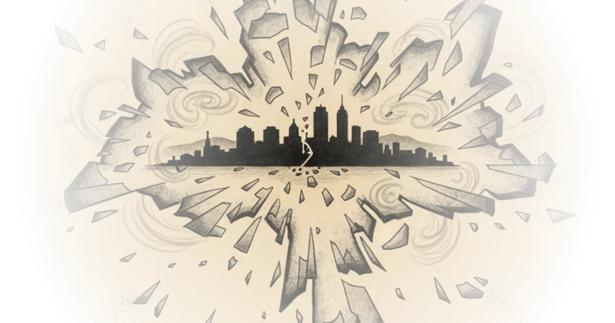
To prove his point, Amos turns to Birmingham, Alabama, a city whose boundaries look like "they took a normal city boundary, dropped it, and it shattered." He traces the city's history from 1960, when suburbanization and "white flight" drained its tax base. As white families moved out, black families were locked out by redlining. The city's response was aggressive annexation, but the results were twisted by the politics of school integration.
Amos details how Birmingham leaders tried to merge with wealthy white suburbs like Mountain Brook. The deal fell apart not because of money, but because of schools. "In 1963, Alabama schools had to be integrated. Birmingham school district boundary had to be the same as its city boundary," he explains. The prospect of white students attending integrated schools with black students killed the merger. This is a stark reminder that municipal boundaries are often drawn specifically to avoid racial mixing.
Undeterred, Birmingham found a loophole to annex undeveloped land without needing voter approval, provided they offered tax breaks. "Birmingham leaders annexed this land through a loophole in annexation law," Amos writes. This strategy expanded the city's footprint but failed to bring in the population or tax revenue needed to save it. The result is a map where the city grows around existing suburbs, creating "weird appendages" that serve no logical purpose other than political maneuvering.
Beyond Politics: Topography and Infrastructure
While politics is the primary driver, Amos acknowledges that physical reality plays a role. He points out that non-contiguous boundaries can exist for practical reasons, such as airports. "Airports can be operated by cities, but it's not usually a good idea to have them too close to a city center," he notes, citing Chicago and Denver as examples where a thin strip of land connects the city to its airport. Similarly, Birmingham's long, narrow tendril to a port on the Black Warrior River exists to maintain access to shipping lanes, a legacy of its industrial past.
However, Amos argues that these physical necessities are the exception, not the rule. In California, the Local Agency Formation Commission (LAFCO) attempts to regulate this chaos by defining a "sphere of influence" for every city. "A city can only eventually annex land within its sphere of influence," Amos writes, highlighting a system that forces cities to plan for growth rather than engage in predatory land grabs. This regulatory approach offers a potential solution to the fragmentation seen in Alabama, where the legislature can pass laws allowing non-contiguous annexation at the drop of a hat.
"Municipal finance might not even be the biggest motivation for annexation."
Bottom Line
Dave Amos delivers a masterclass in reading the political subtext of a map, proving that weird boundaries are rarely accidents. His strongest evidence lies in the Birmingham narrative, where school integration fears explicitly dictated the shape of the city. The argument's vulnerability is its heavy reliance on historical racial dynamics, which, while undeniable, might underplay the modern complexity of fiscal federalism. Readers should watch for how other Southern cities are navigating these same boundary battles as they face renewed demographic shifts.