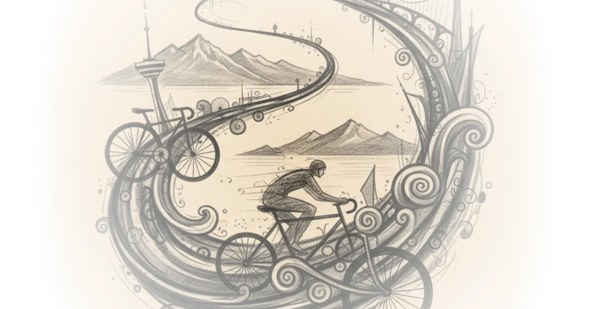
Dave Amos doesn't just ride a bike; he tests a hypothesis about whether our cities can actually support long-distance, car-free travel without turning the rider into a daredevil. While most travel writing treats a 28-kilometer journey as a feat of endurance, Amos frames the Vancouver Seawall as a stress test for urban infrastructure, asking a question that matters to every commuter: is the limitation in our legs, or in the lack of safe networks? His conclusion is a quiet revolution in planning philosophy, suggesting that if a path can keep a rider comfortable for nearly 30 kilometers, the mode of transport is viable, but only if the city gets out of the way.
The Infrastructure Test
Amos begins by acknowledging the sheer scale of the challenge, noting that while the title of "world's longest continuous waterfront bike path" is niche, the reality of 28 straight kilometers is "really impressive." He sets the stage not as a tourist, but as a commuter with a specific bias: he knows that most bicycle trips are short, and the barrier to longer distances is rarely physical ability. "The limiting factor these days, as I see it, are the lack of networks of long-distance bicycle paths separated from traffic," Amos writes. This is the core of his argument. He posits that the reason we don't see more long-distance cycling isn't because people are lazy or unathletic, but because the infrastructure forces them to choose between danger and inconvenience.
As he sets off from the Vancouver Convention Center, Amos observes that the path starts in a dense urban environment but quickly transitions into a sanctuary. He notes the shock of seeing seaplanes taking off near Coal Harbor, describing it as "own little airport on the water." This juxtaposition highlights the unique character of the route, but his real focus remains on the ride itself. He argues that the experience validates his intuition: "If the seawall can keep me safe and comfortable for 28 km, I'd be right. The limiting factor is the infrastructure, not the transportation mode." This framing is powerful because it shifts the blame from the individual rider to the city planner. It suggests that if we build it right, people will come, and they will stay.
Critics might note that the Seawall is a unique geographic asset, leveraging a coastline that most inland cities simply do not possess. Therefore, its success might not be easily replicable in places like Chicago or Atlanta. However, Amos's point about the feeling of safety and continuity is universal, regardless of the specific geography.
The limiting factor is the infrastructure, not the transportation mode.
The Evolution of a Path
The journey through Stanley Park reveals the complexities of building infrastructure over a century. Amos describes the path as feeling "wilder" than New York's Central Park, yet he quickly encounters the friction of history. The path, begun in 1917 and completed in 1980, reflects a time when cycling was popular but not prioritized for width. "I would have loved for this to be like maybe twice as wide," Amos admits, noting that the narrow, one-way sections force riders to dismount and walk with pedestrians. He observes that the city solved this by making the Stanley Park segment one-way in 1984, a pragmatic fix that still feels dated to modern riders.
This section of the commentary is crucial because it exposes the patchwork nature of urban planning. Amos points out that the path feels like a collection of different projects stitched together, with signage that can be "tricky" and construction that interrupts the flow. He compares the rest stops along the way to "gas stations for bikes," noting that while the totem pole stop was "delightful," the lack of consistent amenities could be a barrier for families. "I really love the idea of having lots of places to stop along this path," he says, adding that for parents, knowing a bathroom is within a kilometer or two is essential. This detail grounds the high-level infrastructure argument in the messy reality of daily life.
The author also highlights the confusion regarding the path's official length, with city websites contradicting each other on whether it is 22 or 28 kilometers. "I can tell you from my own measurements that it's 28 km to Spanish Banks Park," he asserts, emphasizing the value of on-the-ground verification over bureaucratic maps. This attention to detail reinforces his credibility as a tester of the system, not just a passenger.
The Urban Fabric and the Goose Problem
Leaving Stanley Park, Amos enters the False Creek area, where the path transforms again. He describes the North False Creek redevelopment as feeling like a mix of city and suburb, with high-density housing and a quiet vibe. Here, the infrastructure shines. "For my money, these might be the best bike paths in North America," he declares, praising the separation of cyclists and pedestrians and the clear signage. This section of the route proves his thesis: when the city dedicates space to cycling, the result is a safe, enjoyable, and efficient mode of transport.
However, the journey is not without its absurdities. Amos humorously recounts his encounters with geese, which he feels were "enforcing the peace" in the parks. He describes a "massive flock of geese" near Science World that forced him to dismount, joking that they had set up a "makeshift checkpoint." While this adds a layer of entertainment to the piece, it also serves as a metaphor for the unpredictable nature of shared spaces. The geese, like the narrow paths and confusing signage, are part of the ecosystem the rider must navigate.
As he moves into the South False Creek area, the ride becomes more residential and suburban. Amos notes that his "butt's getting a little sore," a candid admission that even with an electric bike, 28 kilometers is a significant physical undertaking. "It's definitely starting to feel like a long bike ride," he admits, but he remains positive. This honesty is vital; it prevents the piece from becoming a utopian fantasy and keeps it grounded in the reality of human limits.
Critics might argue that the author's reliance on an electric bike skews the results, making a 28-kilometer ride accessible to people who might not have the stamina for a traditional bike. Yet, Amos anticipates this, noting that he had to keep the ebike on the lowest setting to ensure he had enough range to finish. The technology is a tool, not a cheat code, and his struggle to manage the battery mirrors the real-world challenges of long-distance commuting.
Bottom Line
Dave Amos's journey along the Vancouver Seawall is more than a travelogue; it is a compelling argument for the potential of car-free cities. His strongest point is the distinction between the physical capability of the rider and the structural barriers imposed by the city. By documenting the path's evolution from a narrow, historic trail to a modern, wide cycle track, he illustrates how infrastructure shapes behavior. The piece's biggest vulnerability is its reliance on a unique coastal geography, which may limit its direct applicability to inland cities. However, the underlying lesson—that safe, continuous, and well-maintained paths are the key to unlocking long-distance cycling—is a universal truth that every urban planner should heed.